Vermont Barn Census
Chittenden County Student Research Project - 2010
|
Vermont Barn CensusChittenden County Student Research Project - 2010 |
|
Historic Maps |
|
Agricultural History of St. George Agricultural History of Williston Historic Maps |
Wallings Map of Williston and St. George, 1857 *** |
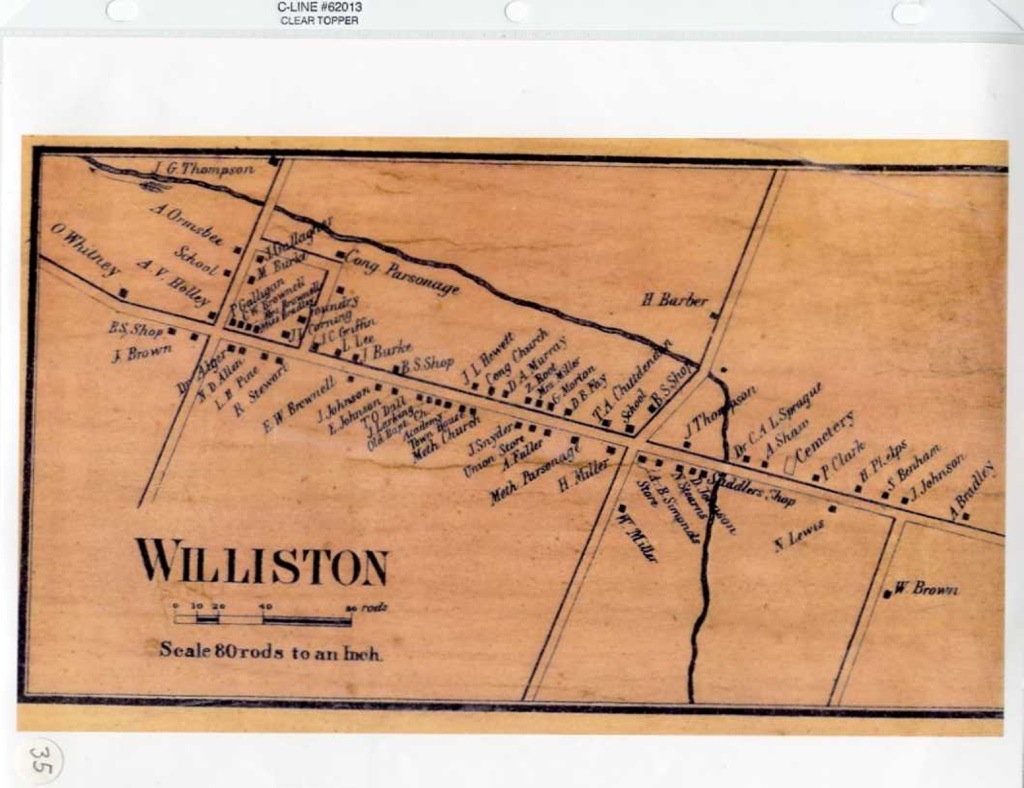
Wallings Map, 1857 *** |
|
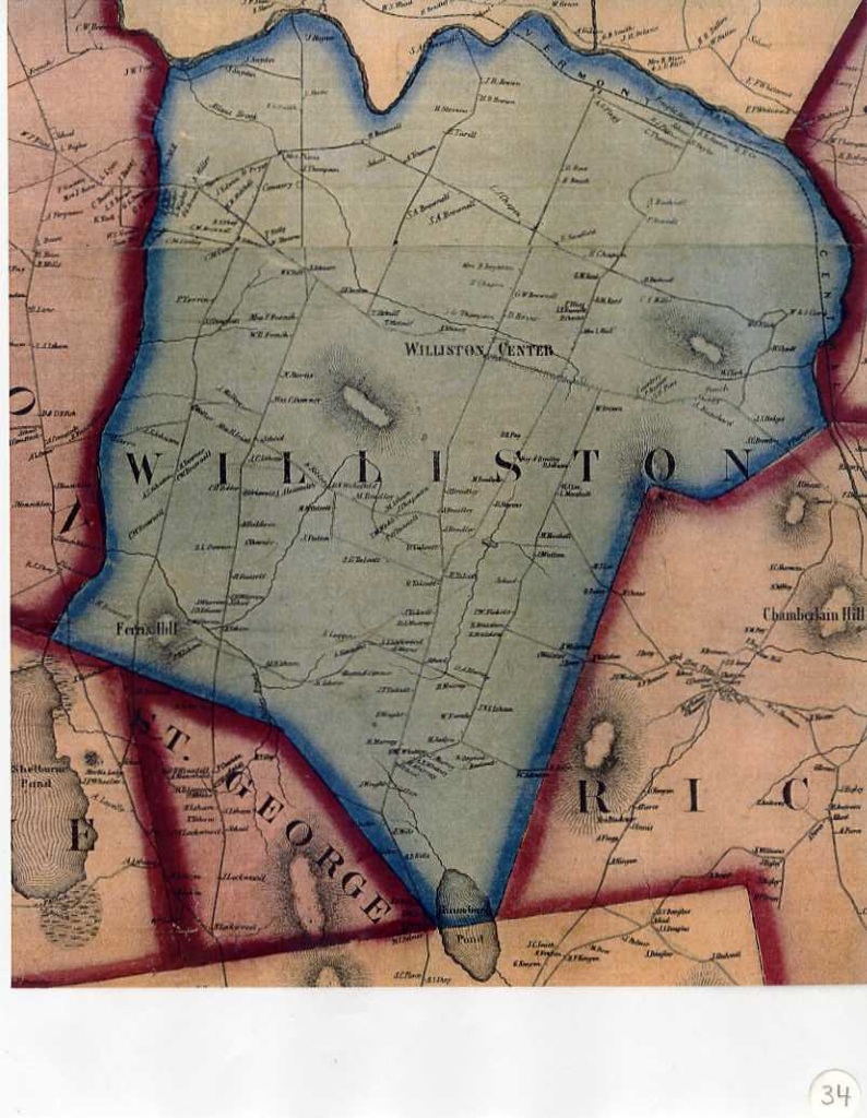
Beers Map, 1869 *** |
|
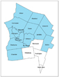
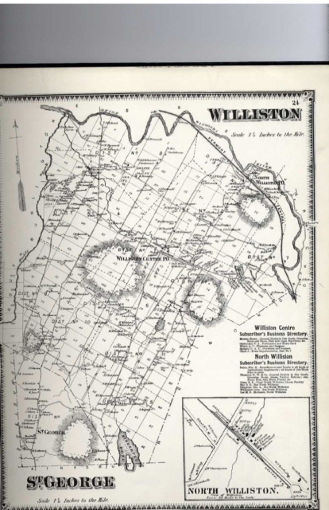
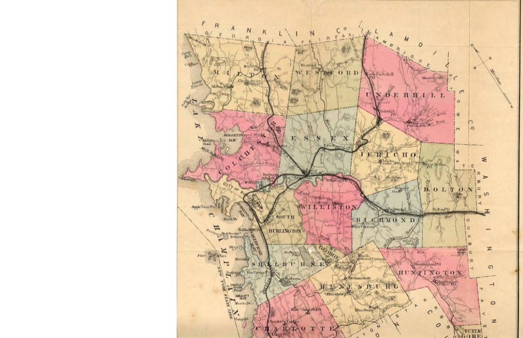
Childs Map, 1882 Williston in center in pink, St. George below in green *** |
|
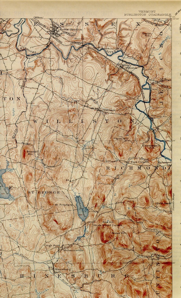
1906 USGS topographical map of Williston & St. George *** |
|
1948 USGS topographical map of Williston & St. George *** |
Funding support for the Vermont Barn Census project has been provided in part by a Preserve America grant through the National Park Service
to the State of Vermont Division for Historic Preservation.
The content of this site was wrriten and accumulated by Danielle Meiners, UVM Graduate Student in Historic Preservation during the 2010 fall semester.
