Vermont Barn Census

Preliminary Research - 2009


History

Maps

Interactive Map

Photos

Resources

Home

Historic maps can provide a wealth of information regarding agricultural properties and structures. These maps show town roads, property owners (or in some cases tenants) and other significant aspects of the town such as sawmills and creameries. When cross referenced with agricultural census records, it is possible to get a picture of what agricultural activities were taking place in the town and where. Links have been provided to a higher resolution quality image of the maps on this page, these files are large and may take awhile to load, especially with lower bandwidth internet connections. All the maps on this page were obtained and scanned at The University of Vermont's Bailey/Howe Library Special Collections Department.


           Click here for higher quality image

Current map of Dorset, Vermont

 Click here for higher quality image
 1856 Walling Map
Child's Gazetteer 1880 Click here for higher quality image
From Child's Gazeteer, 1880                      

Click here for higher quality image

From Atlas of Bennington Co. Vermont. F.W. Beers 1869


Click here for a higher quality image

From Atlas of Bennington Co. Vermont. F.W. Beers 1869

click here for higher quality image


From Atlas of Bennington Co. Vermont. F.W. Beers 1869

click here for higher quality image
1856 Walling Map

click here for higher quality image

1856 Walling Map

click here for high quality image

1856 Walling Map

click here for higher quality image

Franklin, VTDerby, VTBrownington, VTHinesburg, VTHuntington, VTRichmond, VTNorwich, VTHartford, VTDorset, VTManchester, VTTownshend, VTGrafton, VT

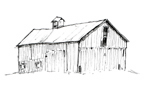
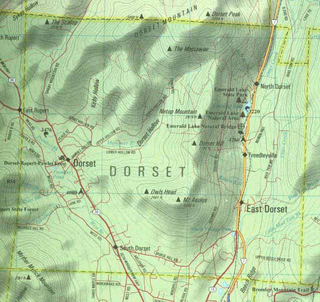
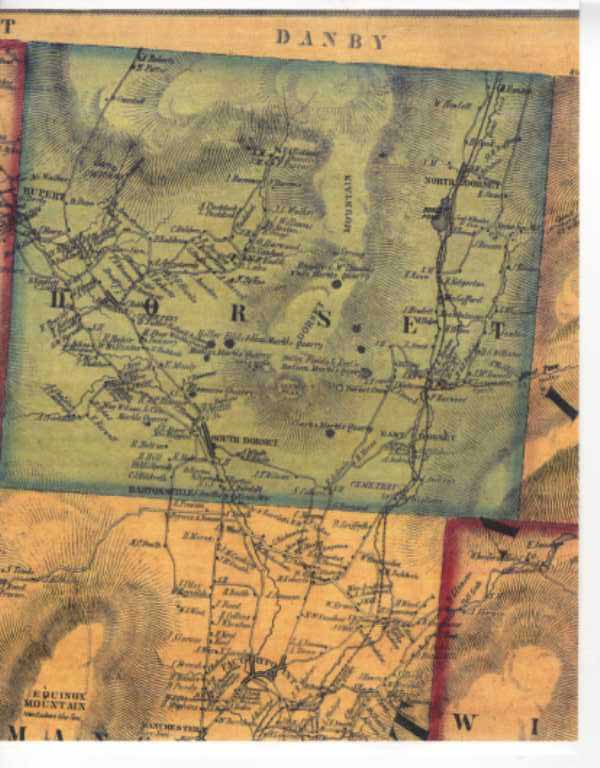
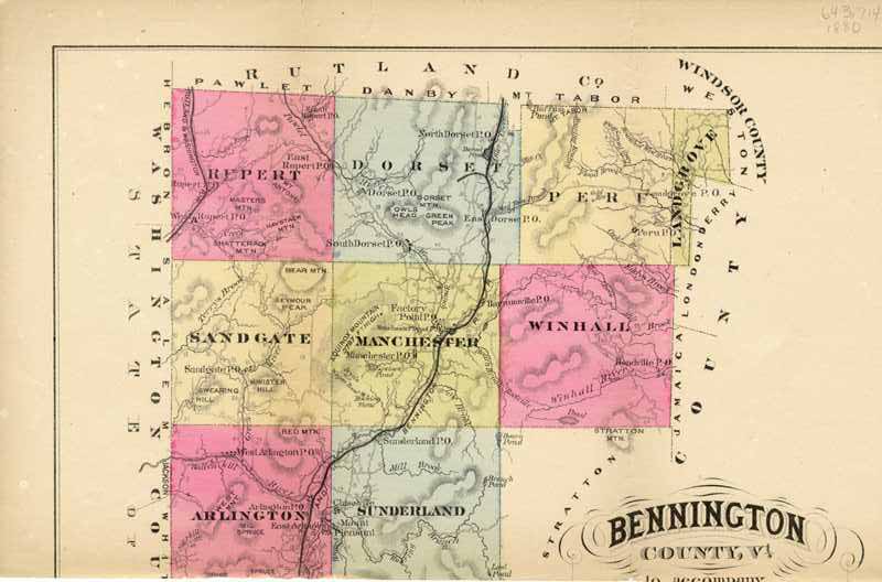
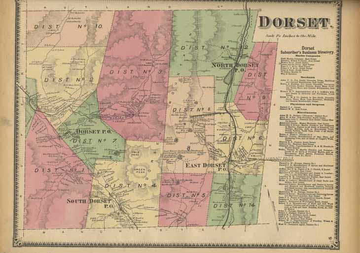
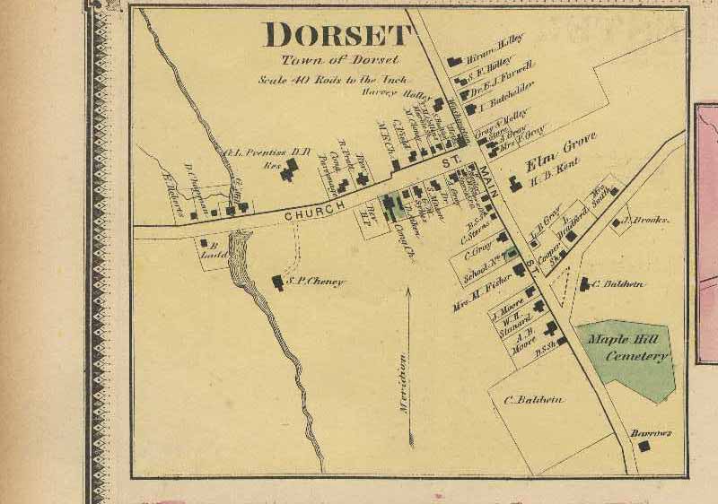
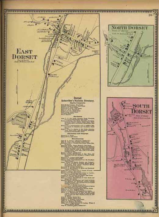
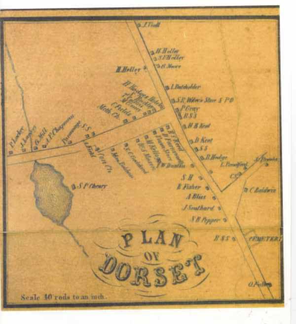
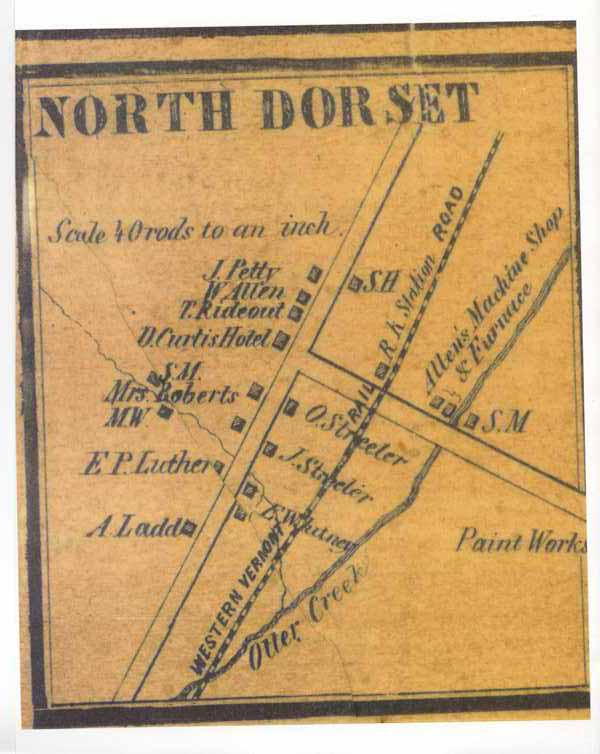
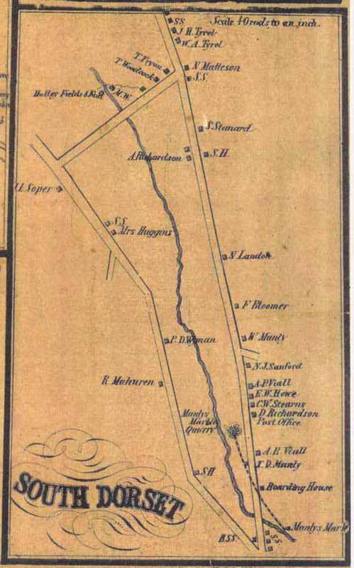
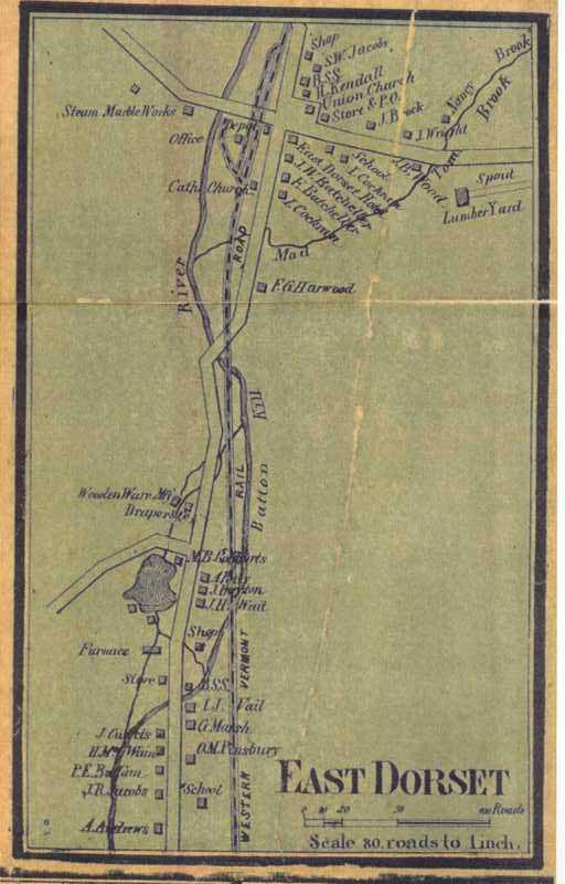
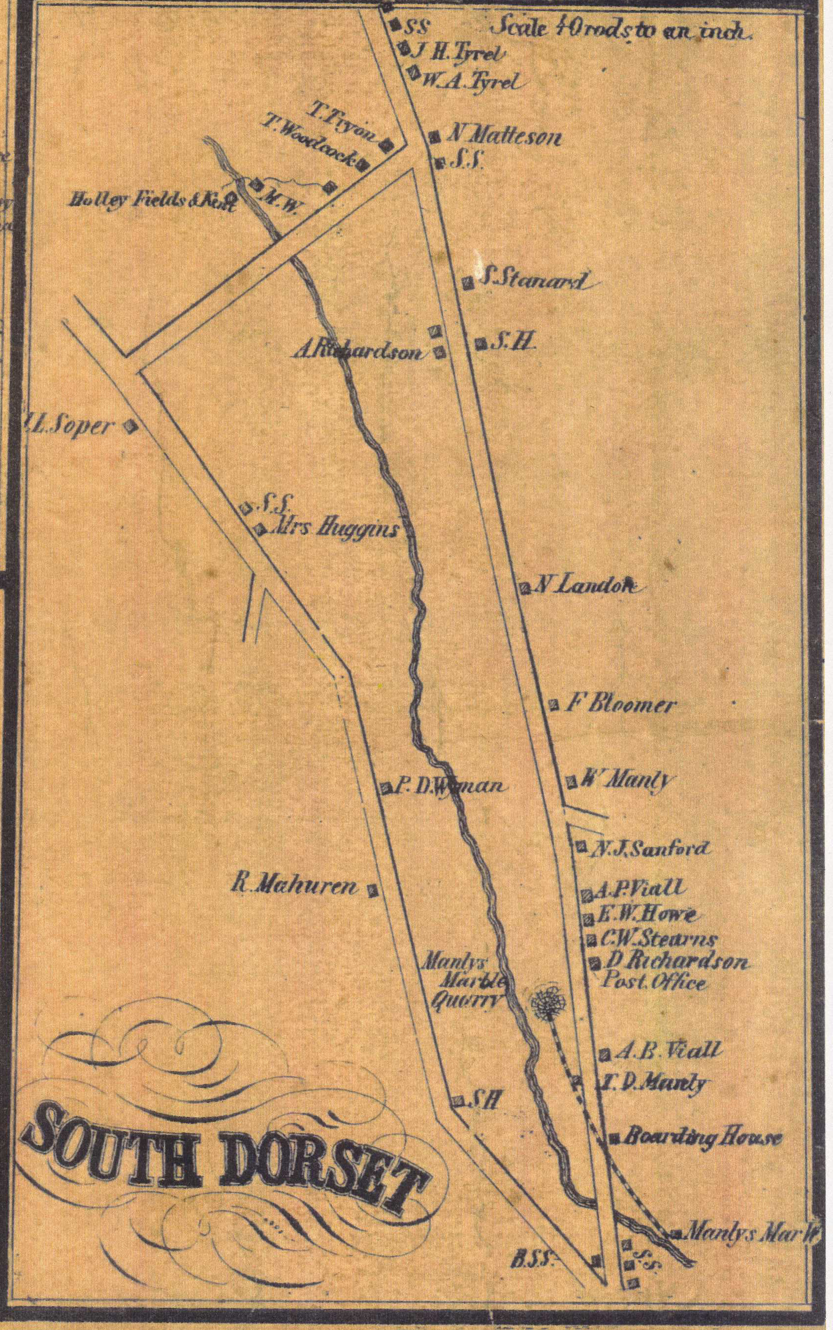
This preliminary research about barns and farm buildings in thirteen Vermont towns is offered as a public service to assist local volunteers with their efforts to learn more about the agricultural heritage of these communities. It is hoped that additional information on the history and features of these barns will be submitted by volunteers through the Vermont Barn Census project. The historical research and preliminary field documentation was conducted during the fall 2009 semester by graduate students enrolled in the Researching Historic Structures and Sites course at University of Vermont Historic Preservation Program with the assistance of local volunteers as part of the Vermont Barn Census, a statewide project of the Vermont Division for Historic Preservation, the University of Vermont Historic Preservation Program, Historic Windsor’s Preservation Education Institute, Save Vermont Barns, Vermont Housing and Conservation Board, and the Preservation Trust of Vermont. Funding support provided in part by a Preserve America grant through the National Park Service to the State of Vermont Division for Historic Preservation.