 |
||||
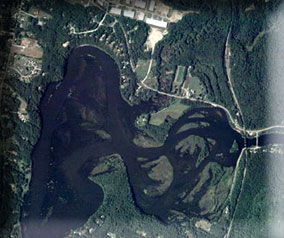
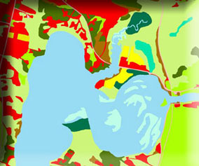
The Vermont (LULC) Mapping Project is dedicated to generating a high-resolution Land Use/Land Cover (LULC) database for the stream corridors of the major Vermont streams that feed into Lake Champlain. All LULC mapping was carried out by the Univeristy of Vermont's Spatial Analysis Laboratory.

How to use this site
- For access to the LULC data along with specifics on the project, please go to the Data section.
- The Resources section contains links to sites containing other LULC data, information about obtaining the imagery used in this project, and LULC mapping resources.
- If you are having problems or need contact information please visit the Help section.
- The links on the left provide access to our photointerpretation keys. These keys were generated according to the VCGI LULC standards. Keys are based on the Vermont Mapping Program (VMP) and the 2003 National Agriculture Imagery Program (NAIP) digital orthophotographs.
