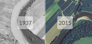
Maps of the Burlington VT region
|
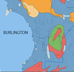
 This link opens a full size map with options to view overlays displaying information about the physical, natural, and social aspects of the city. Creator: Geosprocket LLC |
Contemporary Maps
» City of Burlington Maps:
Comprehensive Development Ordinance Maps
City Council Ward Maps
» Burlington Parks (on Google Maps)
Historical Maps
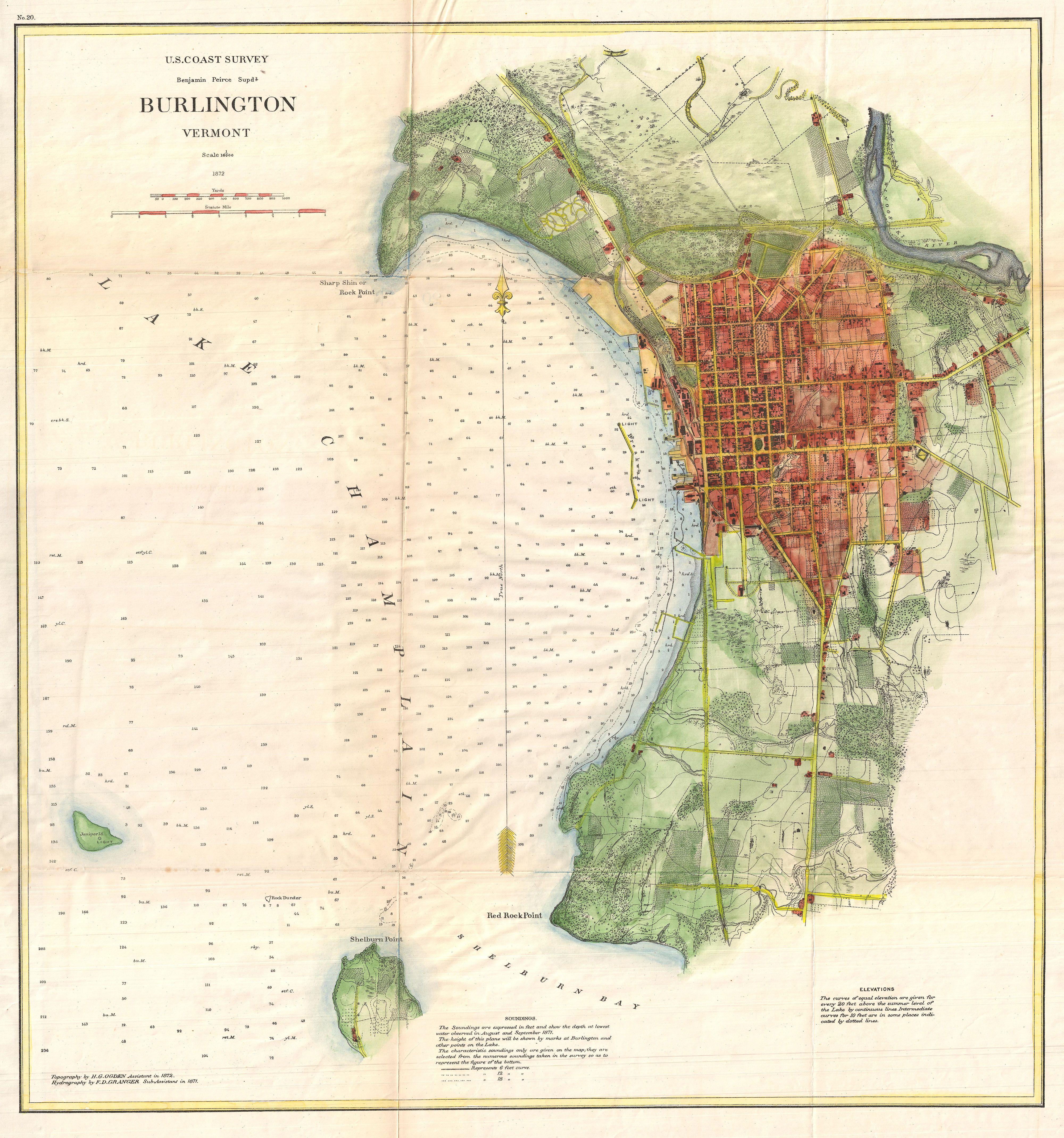
 Map of Burlington, Vermont
Date: 1853
Creator: Presdee & Edwards; Sarony & Major
» Map with metadata
» Zoomable version
Courtesy UVM Center for Digital Initiatives
 Map of the City of Burlington, Vermont from official records, private plans and actual surveys
Date: 1890
Creator: Hopkins, G.M.
» Map with metadata
» Zoomable version
Courtesy UVM Center for Digital Initiatives
 Plan of Burlington village
Date: 1830
Creator: Young, Ammi B. (Ammi Burnham)
» Map with metadata
» Zoomable version
Courtesy UVM Center for Digital Initiatives
 Plan of City of Burlington and Town of South Burlington
Date: 1869
Creator: Beers, F. W. (Frederick W.)
» Map with metadata
» Zoomable version
Courtesy UVM Center for Digital Initiatives
 Plan of the City of Burlington, Chittenden County, Vt
Creator: Beers, F. W. (Frederick W.)
Date: 1869
» Map with metadata
» Zoomable version
Courtesy UVM Center for Digital Initiatives