Area maps created by Courtney Doyle Click on numbered areas of maps to link to research sites and images
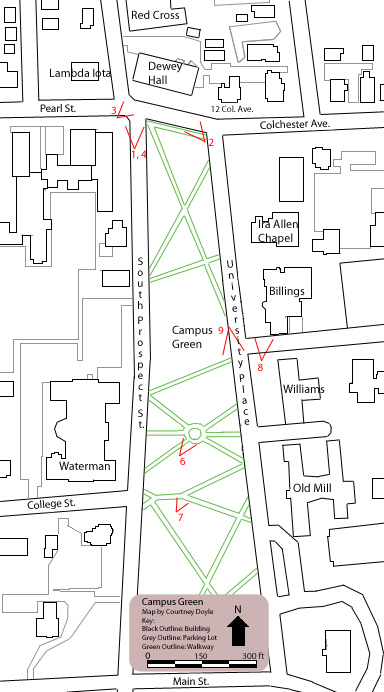
Map 1: Depicts the Campus Green and surrounding buildings
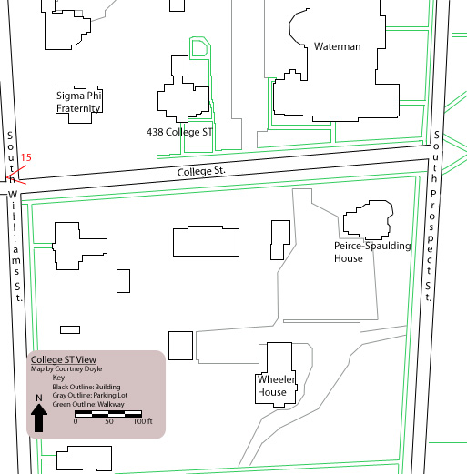
Map 2: Depicts College Street area
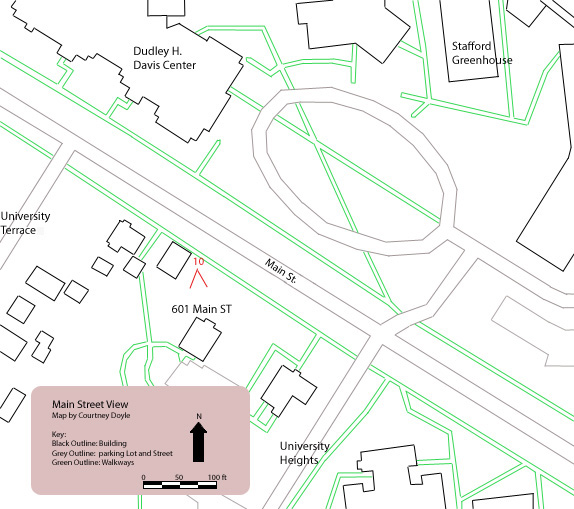
Map 3: Depicts Main Street, in particular 601 Main Street, U.S. Weather Bureau location
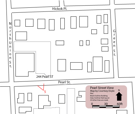
Map 4: Depicts Pearl Street, in particular where 244 Pearl Street (Green Mountain Sanitarium) was located
Map 5: Depicts South Prospect Street (North and South Views) and Grasse Mount locations
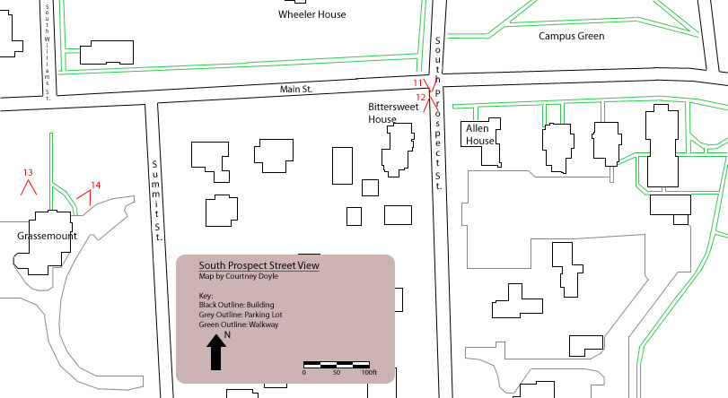 Map 5: Depicts South Prospect Street (North and South Views) and Grasse Mount locations