Link
| col1 | Total Area Damaged (acres) |
Year
to
Visible Layers
Locations matching filters can be small and hard to see. 'Highlight' will outline them in red for a few seconds and make them easier to see.
These maps show the number of damage occurrences an area has had for select damage agents and damage types between 1918 and 2024.
The first recorded defoliation occurrence was in 1918 and the last in 2024.
The first recorded mortality occurrence was in 1967 and the last in 2024.
The first recorded spruce budworm damage occurrence was in 1951 and the last in 2024.
The first beech leaf disease damage occurrence was in 1951 and the last in 2024.
The first recorded white pine needle damage occurrence was in 1951 and the last in 2024.
The first recorded forest tent caterpillar damage occurrence was in 1951 and the last in 2024.
The first recorded forest tent caterpillar defoliation occurrence was in 1951 and the last in 2024.
The first recorded forest tent caterpillar mortality occurrence was in 2005 and the last in 2023.
The first recorded spongy moth defoliation damage occurrence was in 1934 and the last in 2024.
The first recorded spongy moth defoliation occurrence was in 1988 and the last in 2024.
The first recorded spongy moth defoliation mortality occurrence was in 1995 and the last in 2024.
The first recorded winter moth damage occurrence was in 2004 and the last in 2024.
The first recorded winter moth defoliation occurrence was in 2004 and the last in 2024.
The first recorded winter moth mortality occurrence was in 2007 and the last in 2022.
Format Options
Dataset Options
Premade Map Download Selection

Welcome! The Northeastern Forest Health Atlas (NEFHA) is a web portal for forest health data in the Northeastern US. The purpose of the NEFHA is to provide information on short- and long-term changes in forest health and disturbance to researchers, managers, policy makers, and the general public.
The NEFHA interface provides maps of forest damage collected from aerial surveys, as well as links to regional forest health research projects. NEFHA users can filter by damage agent, damage type, state, and year, as well as view graphs and tables of disturbance patterns over time and download maps and data.
Please take a look at the How to Use section, which includes a short tutorial and other tabs in this overview. This project is administered by the Forest Ecosystem Monitoring Cooperative and was made possible by a funding from the Northeastern States Research Cooperative.
For information on acceptable use of this data, see the Data Policy tab.


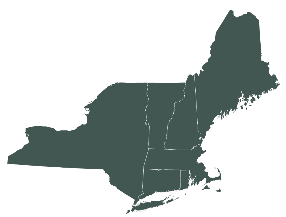
The primary dataset featured on NEFHA comes from the cooperative aerial detection surveys (ADS) and insect and disease surveys (IDS) of forest damage conducted by state and federal agencies. Aerial surveys have been conducted annually by forest health experts in fixed-wing aircraft for decades1. In 2000, aerial surveys conformed to a national standard with the support of the US Forest Service2. NEFHA is the first effort to compile, standardize and make available all known digital data across the five states currently included: Massachusetts, Maine, New Hampshire, New York, and Vermont. Additional details on the data compilation is available in the technical report on the Atlas.
NEFHA also displays field-based datasets related to forest health. Initially, these are studies funded by the Northeastern States Research Cooperative, although other field datasets will be added as they become available. Each field study has its own focus and approach. When you select one of the field locations, you will be able to link to additional resources housed on the FEMC data portal, including publications and datasets.
Click here to read full documentation of the methods used in creating the Northeastern Forest Health Atlas
See the FAQ tab for more information on the methods and important caveats to understand when using these data.
References
1 USDA Forest Service. 2005. Aerial Survey Geographic Information System Handbook. Forest Health Monitoring Program.
2 USDA Forest Service, Forest Health Program. 2024. Aerial Survey.
The Northeastern Forest Health Atlas (NEFHA) provides an online, searchable interface for assessing decades of forest disturbance monitoring and research data in maps, tables and charts. Prior to this effort, obtaining data on forest disturbance was difficult, and comparing it across years and programs was even harder. The objectives of NEFHA are to improve access to standardized data related to forest disturbance across both space and time for forest managers and researchers. The atlas is hosted and maintained by the Forest Ecosystem Monitoring Cooperative (FEMC), and was developed with funds provided by the Northeastern States Research Cooperative (NSRC). In this report, we describe the history of the effort, technical details about how we compiled data, and summaries of major aspects of the resulting dataset.
The NEFHA unifies monitoring and research data from two major sources. First, we compiled spatial disturbance data collected by individual states and the US Forest Service through aerial detection surveys. These annual aerial surveys have been conducted for decades to identify and map the locations of biotic and abiotic forest disturbances. The second source of data for NEFHA are research outputs derived from studies funded by NSRC. Since it began, NSRC has funded hundreds of studies examining forested ecosystems in the Northern Forest to better understand how these resources are changing, and how these changes may affect the people that depend on them.
The tools and data access mechanisms in NEFHA provide a novel and invaluable tool for quickly finding and mapping data on forest disturbance in the northeastern US. This resource will continue to grow in volume and relevance as a changing climate, shifting land use, and new stressors continue to spur change in forests.
Duncan, J., Tait, E.R., Meigs, G.W., Kosiba, A.M., Pontius, J.A. and W. Keeton. 2018. The Northeastern Forest Health Atlas – Technical Report. https://doi.org/10.18125/D2873C. Available online at https://www.uvm.edu/femc/CI4/data/foresthealthatlas/methods.
Questions? Contact FEMC!
The Northeastern Forest Health Atlas, or NEFHA, is a compilation of state and federally-collected aerial detection surveys (ADS, recently renamed IDS for insect and disease surveys) for the Northeastern US. The NEFHA interface provides maps of forest damage events overall and by specific damage types and causal agents. NEFHA users can filter by causal agent, damage type, state, and year, as well as view graphs and tables of disturbance patterns over time, and download maps and data. Although other online forest damage databases exist, they lack the ability to explore disturbance events over variable time spans, do not include all causal agents, have fewer years of data available (which precludes the examination of long-term patterns), and/or display disturbances by county rather than by mapped polygon extent.
The FEMC will continue to add annual aerial survey data as they become available, as well as digitize historical maps to extend the available record. All of the states in this region have forest damage maps dating back to the mid-20th century that are being prioritized for digitization and quality control, thus providing a longer-term record of a variety of causal agents for future assessments. NEFHA also includes locations of field-based forest health related research projects with links to project information and datasets for future investigations linking aerial survey to field data.
Aerial sketch-mapping has been conducted via fixed-wing aircraft by state forest health programs on state and private land, and by the federal agencies on federal lands for many decades. These aerial surveys are aligned with the US Forest Service Forest Health Monitoring (FHM) Program and reporting standards and supported by the USFS Forest Health Assessment and Applied Sciences Team (FHAAST – formerly Forest Health Technology Enterprise Team).
During aerial surveys, forest health technicians digitally delineate areas of visible forest damage. Resulting damage polygons include the following attributes: damage type, causal agent, year of occurrence, and, in some cases the severity of forest damage, dominant forest type affected, and host species for pests and pathogens. Under this schema, damage agents can be classified as one of the following types: insect, disease, animal, abiotic (e.g. drought, frost, salt, etc.), or other.
Forest damage maps were compiled using digitized forest health aerial survey records from each state in the region as well as from the USDA Forest Service, Northeastern Area. Annual aerial surveys are conducted by the USDA Forest Service, states, and cooperators during the growing season using a standardized aerial sketch mapping protocol. Disturbance polygons are mapped on digital imagery and the cause of the disturbance, affected area, and degree of damage (percent of foliage loss, mortality, etc.) are recorded. For the NEFHA, we compiled these data, and standardized the polygons across states and agencies.
There are several limitations of aerial survey datasets:
These datasets can be used to:
These datasets should not be used to:
For help with using the Northeastern Forest Health Atlas or to report any issues, please contact the Forest Ecosystem Monitoring Cooperative at femc@uvm.edu.
Forest Ecosystem Monitoring Cooperative
705 Spear Street
South Burlington; VT 05403
femc@uvm.edu
These data are made available “as is” and with no warranty of accuracy or fitness for use. The creators of this data package and the website shall not be liable for any damages resulting from misinterpretation or misuse of the data package or its components. The Aerial Survey data and Insect and Disease Survey data are public data and thus free from restrictions on use. Data from individual research projects is accessed through the FEMC Data Archive; and is subject to the FEMC Data Policy and individual researcher constraints on the access and use of their data.

