Tides at the Bay of Fundy
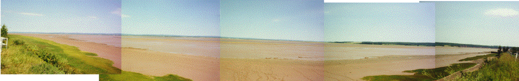
| These photographs are my attempt at displaying what we saw when we rounded a bend just outside of the town of Maitland. We first saw it at low tide, then came back to take the shots at high tide. I "joined " the photographs using a graphics package.. but I'm no graphic designer... |
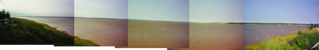 |
Both the high (above) and low (below) tide shots are pans through about 170 degrees of horizontal arc. After looking at a map we THINK that this shows about 16 by 8 miles of more-or-less exposed ground. |
 |
 |
The shot above is a compilation of pictures that shows an inlet near the mouth of the Shubanacadie River. Taken near Maitland. |
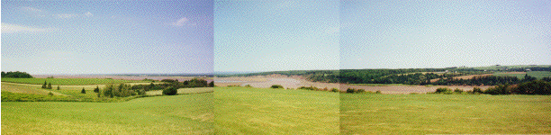
| Mary Lou found a spot on the map that showed a public swimming area on the Bay of Fundy, near the town of Selma. Never ones to miss a swimming opportunity, we went. We were a bit surprised (to say the least) when we first saw it at low tide. NO WATER FOR MILES !! We went back several hours later and took pictures at high tide to show the differences. |
 |
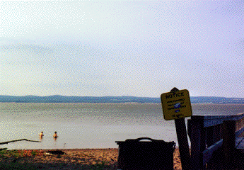 |
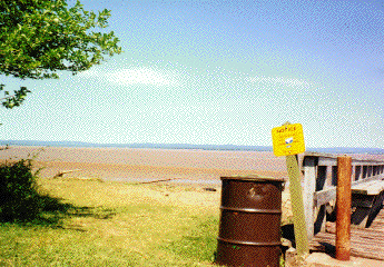
Above left is what we first saw... all the "red" is bare sand. Obviously not much swimming to be had... The right-hand shot is a few hours later. |
|
 |
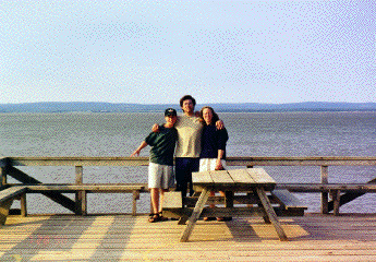 |
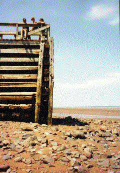
Above left shows the dock we were going to swim from.. It is about 20 feet to the top. At right we are on the same dock. A little different. I think if you saw it only at high tide you would notice nothing unusual. |
|
 |
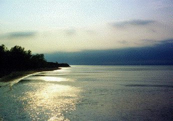 |
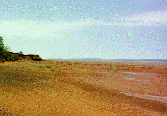
This cliff is to the west (left) of the dock above. Low and high tide differences are profound. |