Vermont Barn Census
Chittenden County Student Research Project - 2010
Historical Maps
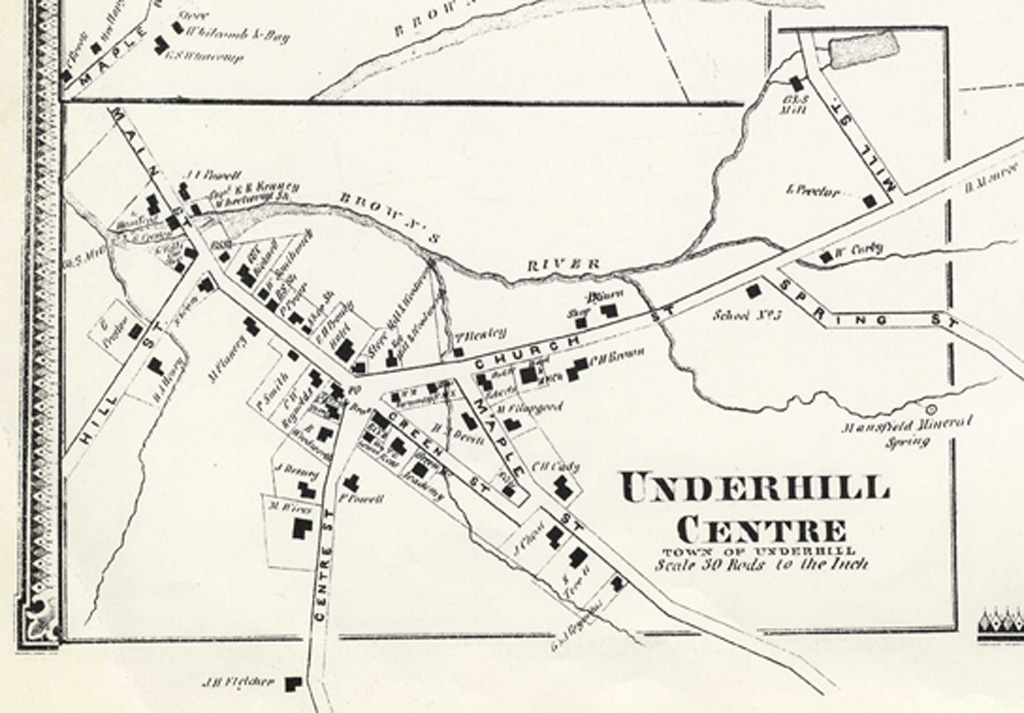
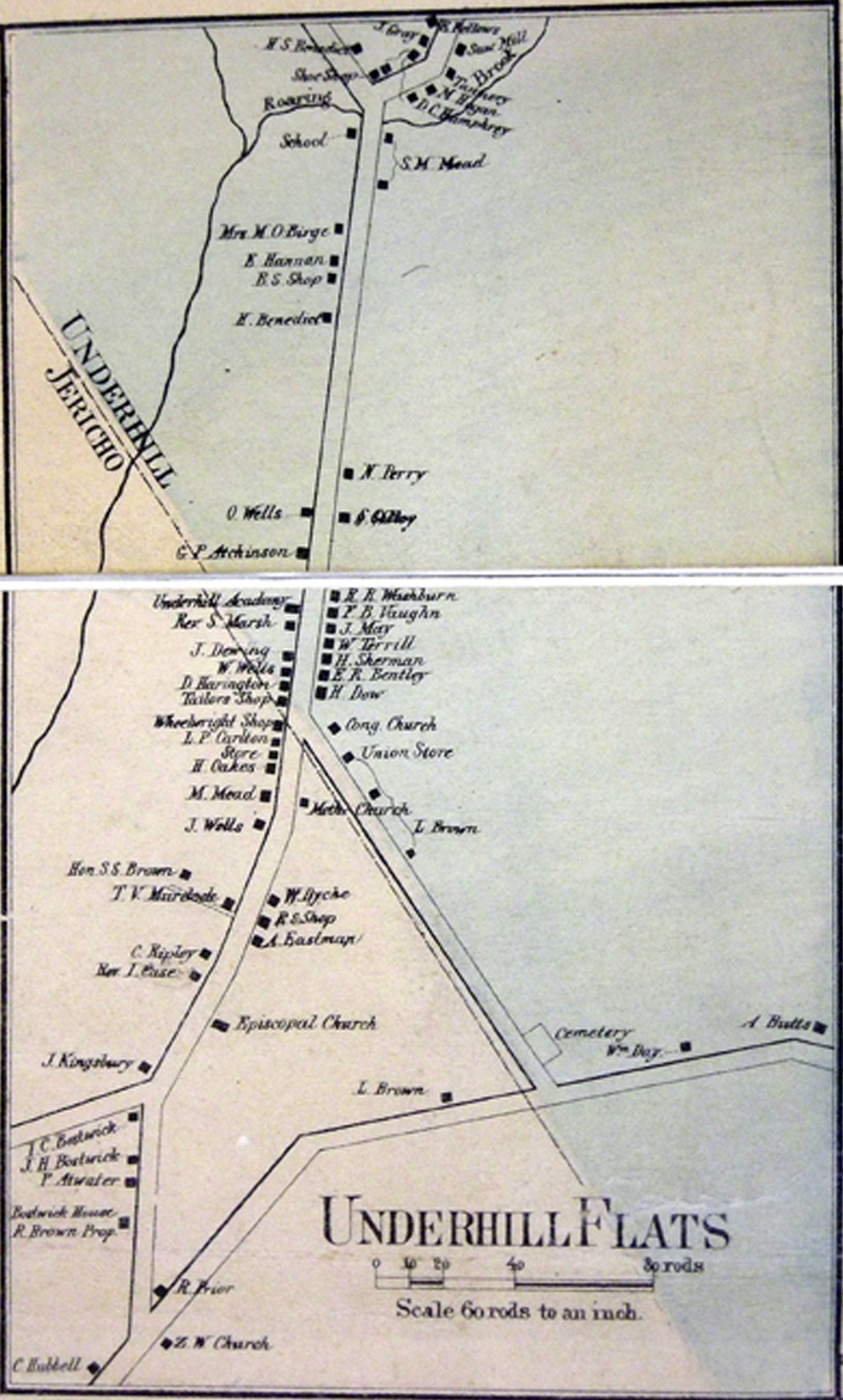
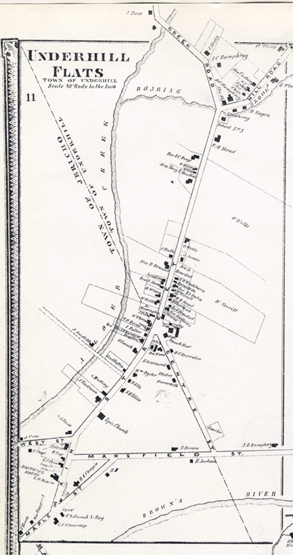
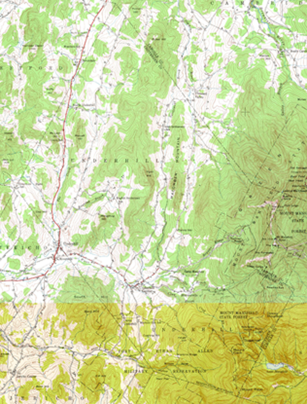
Historical Maps of Underhill, Vermont
 |
 |
|
Courtesy of UVM Special Collections |
Courtesy of UVM Special Collections |
 |
 |
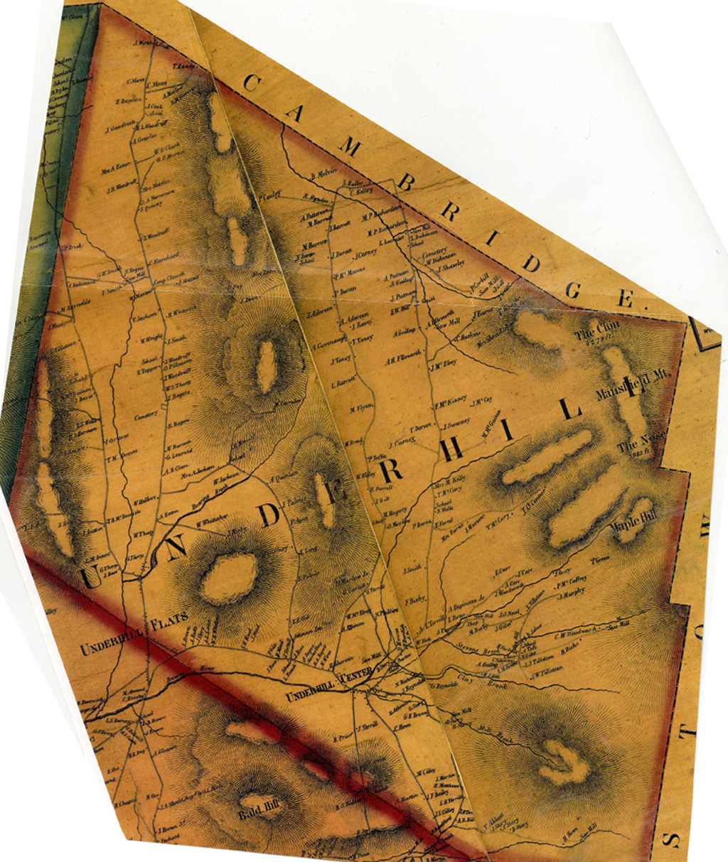
1857 Wallings Courtesy of UVM Special Collections |
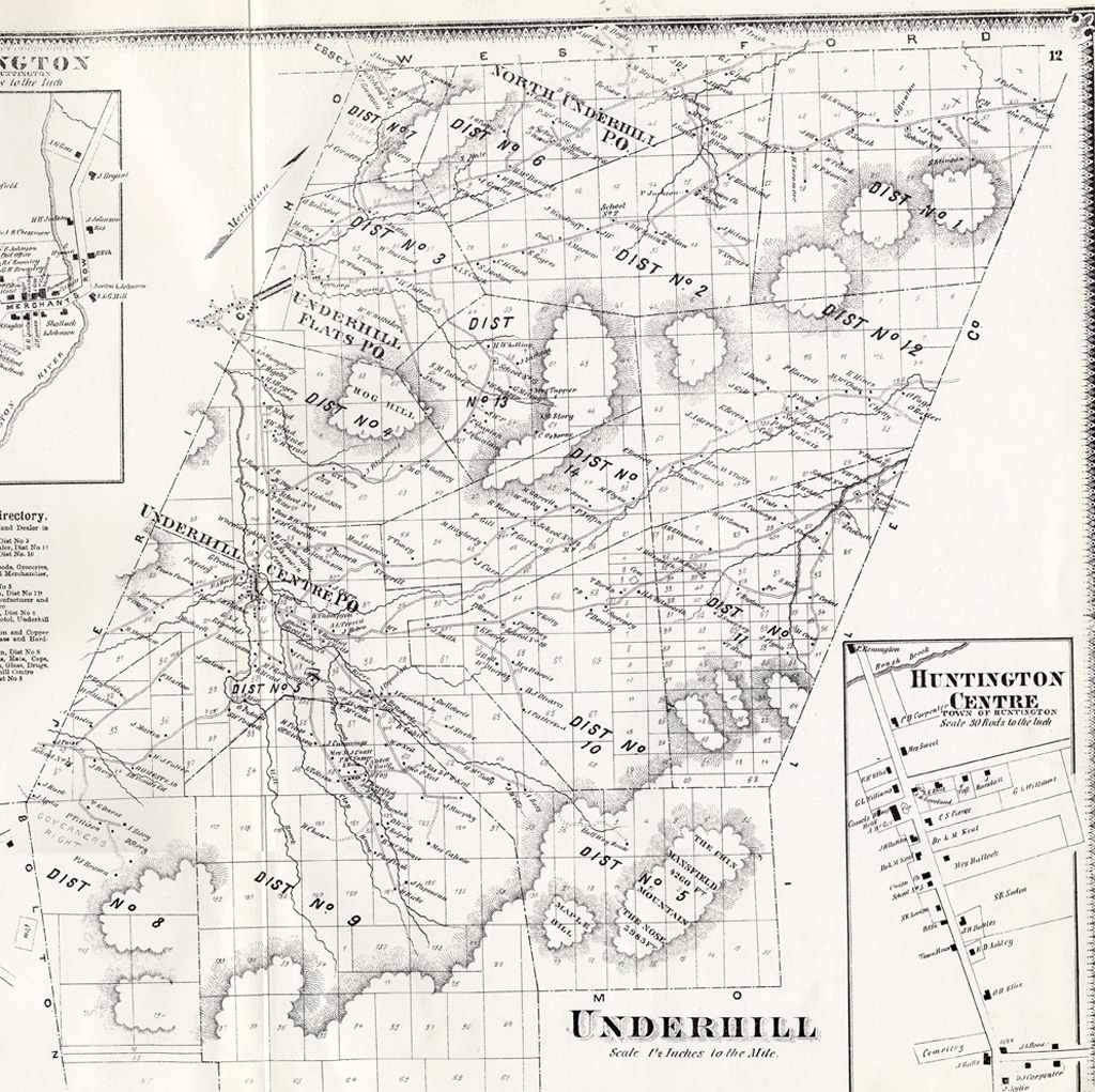
1869 Beers Atlas Courtesy of UVM Special Collection |
 |
 |
1857 Wallings Courtesy of UVM Special Collections |
1869 Beers Atlas Courtesy of UVM Special Collection |
 |
 |
|
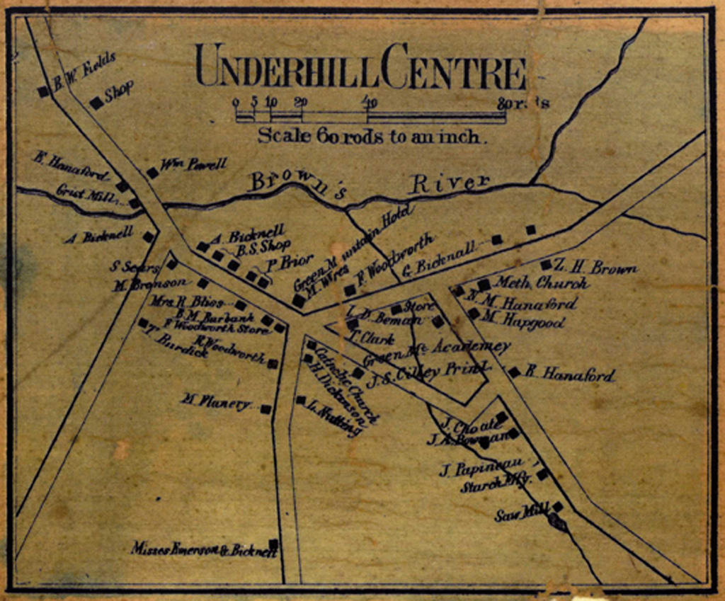
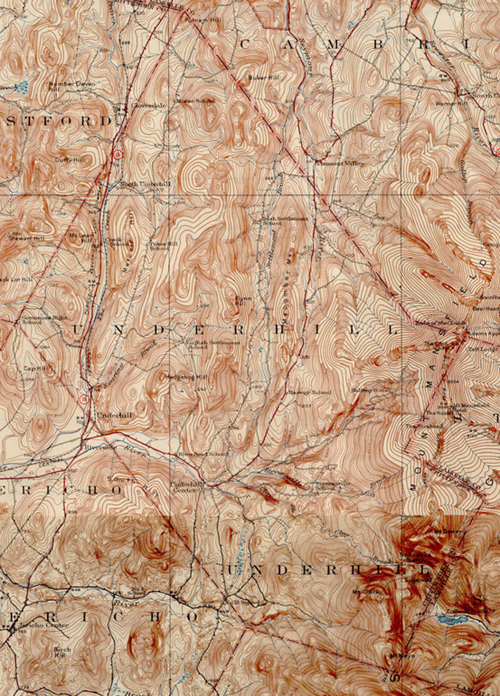
Courtesy of UNH Dimond Library |
Courtesy of UNH Dimond Library |
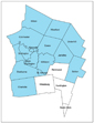
View Underhill Barn Census in a larger map