Vermont Barn Census
Chittenden County Student Research Project - 2010
|
Vermont Barn CensusChittenden County Student Research Project - 2010 |
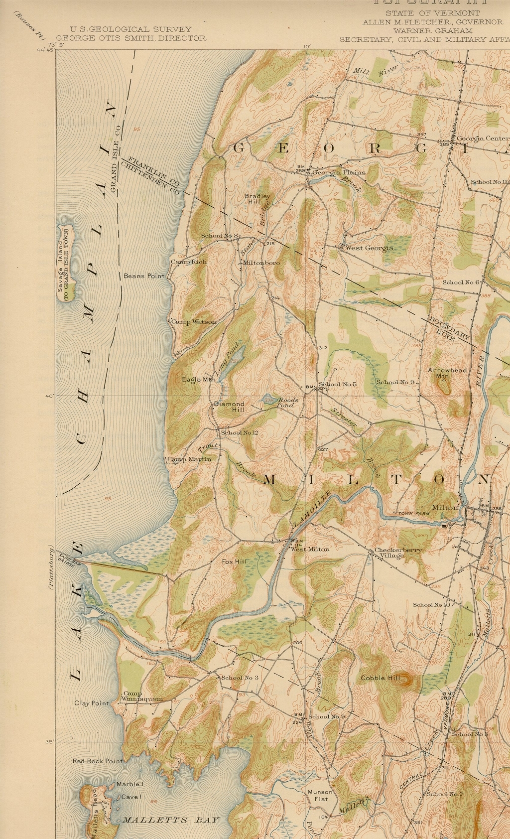
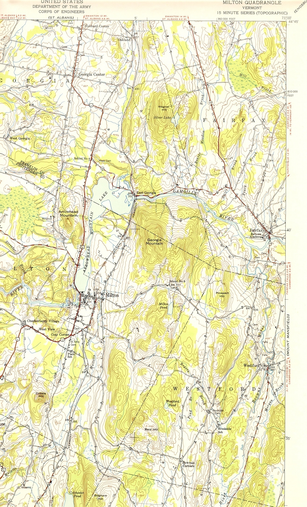
Maps of Milton(click on the images for larger versions) |
||||
Google Map of Extant Barns in MiltonView Milton Barns in a larger map
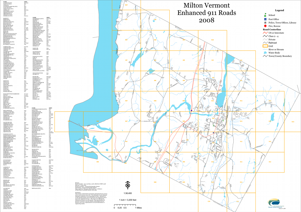
Milton e911 Road MapCourtesy of the Town of Milton
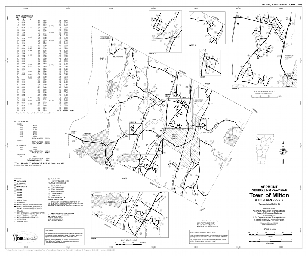
VTrans Map of MiltonCourtesy of Special Collections, University of Vermont
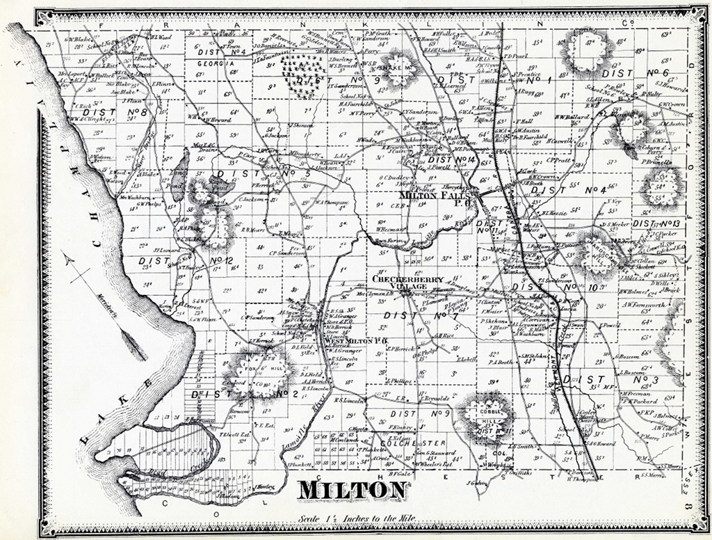
1857 Wallling's Map of MiltonCourtesy of Special Collections, University of Vermont |
 |
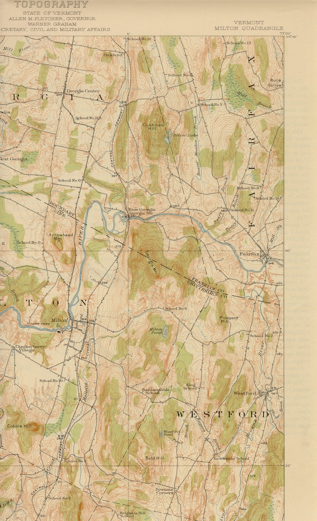 |
1948
 |
 |
Funding support for the Vermont Barn Census project has been provided in part by a Preserve America grant through the National Park Service to the State of Vermont Division for Historic Preservation.