Vermont Barn Census
Chittenden County Student Research Project - 2010
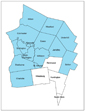
Historic Maps
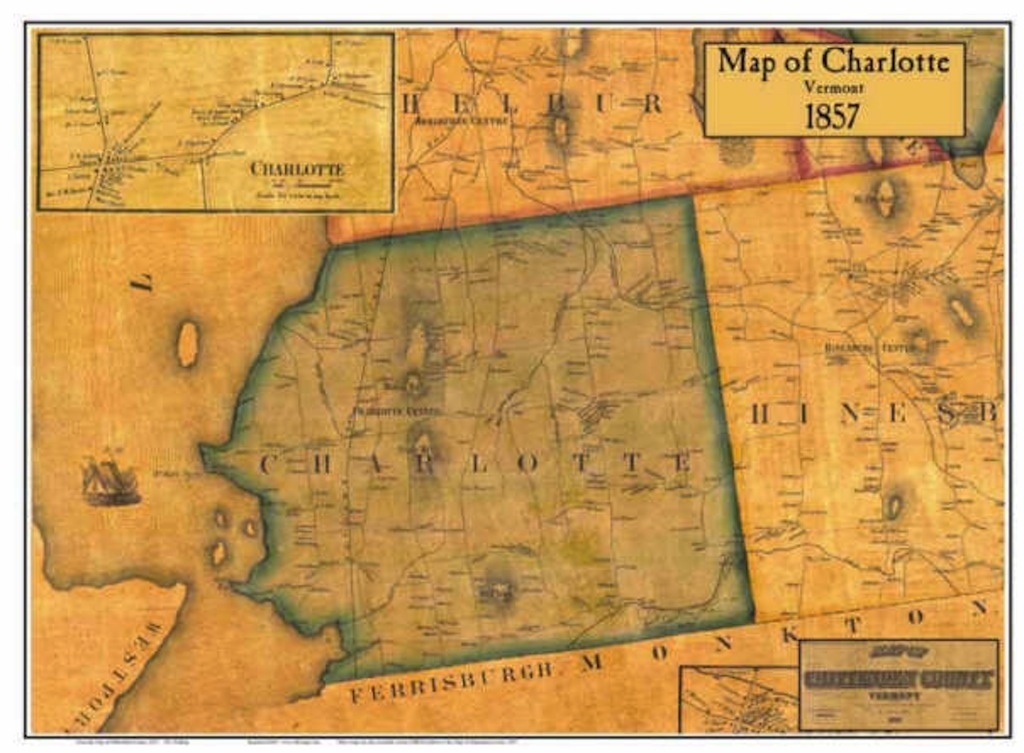 |
| Walling's Map 1857 |
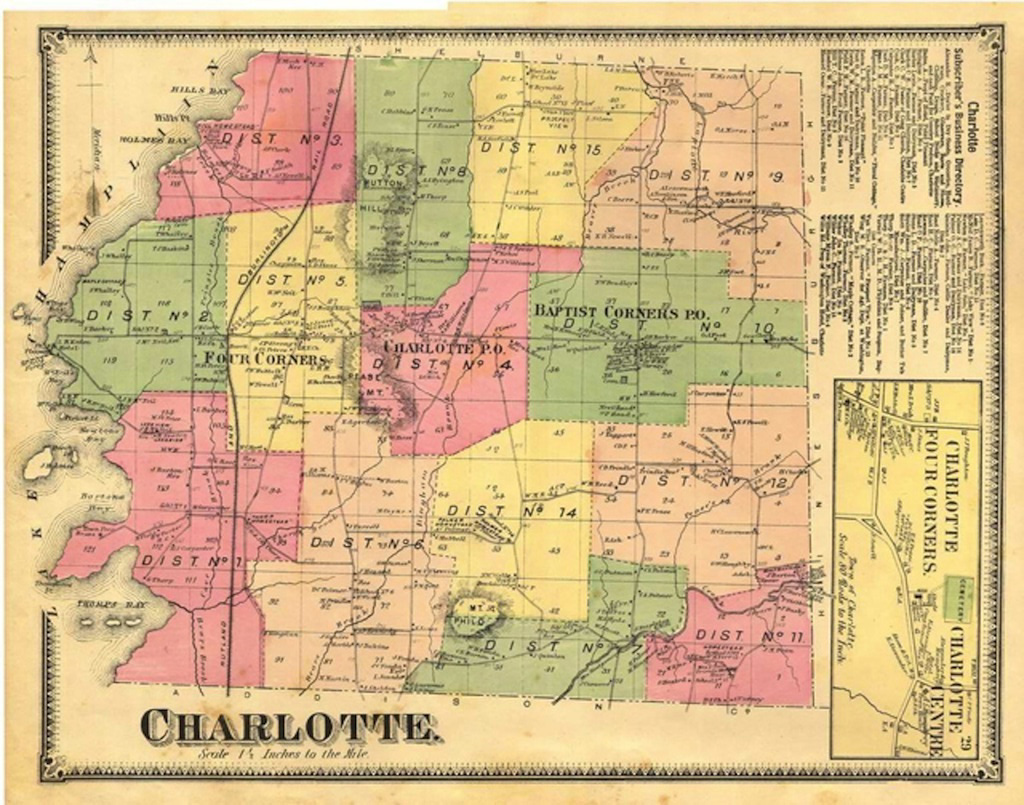 |
| Beer's Atlas 1869 |
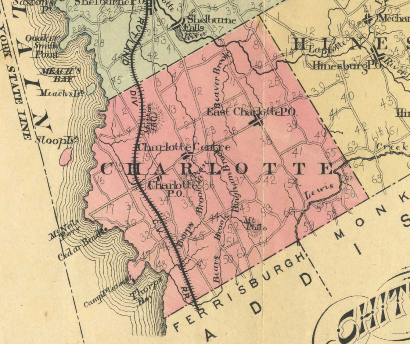 |
| Child's Gazetteer Map 1882-83 |
 |
| USGS Map 1948 |
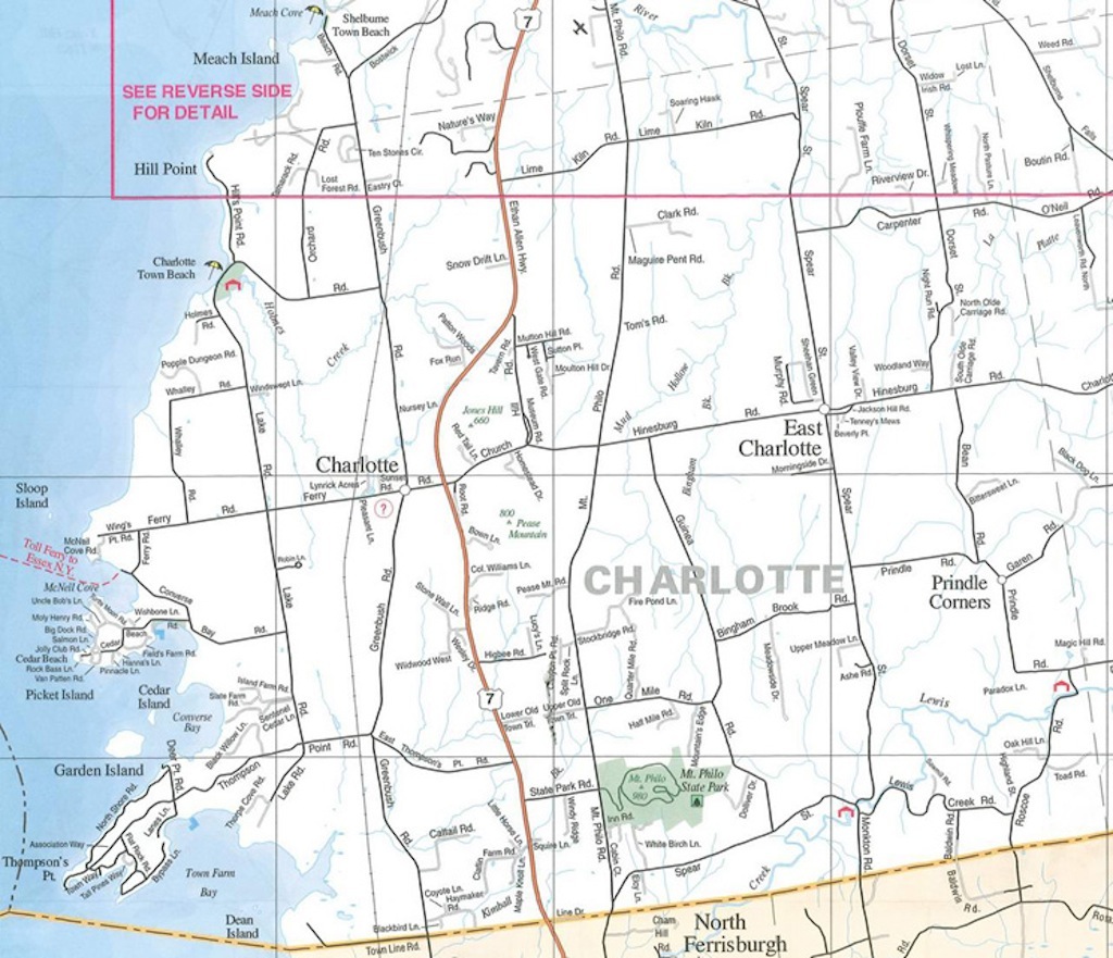 |
| Recent Road Map |
|
Vermont Barn CensusChittenden County Student Research Project - 2010 |
||||||||||
|
|
Historic Maps
|
Funding support for the Vermont Barn Census project has been provided in part by a Preserve America grant through the National Park Service to the State of Vermont Division for Historic Preservation.