The lens of Louis McAllister's camera in the late 1920s and early 1930s captured vignettes of rapidly changing American life along this Burlington artery. Although the neighborhoods documented in his photographs appear radically different today, much of the underlying urban fabric remains little chainged from 75 years ago. But the elements that are different have greatly impacted the feel of these streets, albeit differently depending on the specific conditions at each locality.
In McAllister's time, transportation was undergoing massive uphevals with the decline of mass transit and the increasing prevelance of the automobile. Not only was North Winooski Avenue a major route for Burlington's streetcars, but it also housed their garage. In fact, much of McAllister's work on this avenue documented the ripping up of the tracks to make way for the new bus fleet. Today, the streets are littered with cars, and their visual impact is heightened when compared with the relatively open streets of the 1930s.
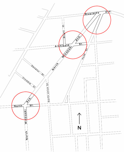
The death of the American Elm tree was a catastrophic loss for city streets across the country including North Winooski Ave. No where is this more visible on the street than along the stretch of residential homes south of North Street. Without a canopy to mask them, the now taller utility poles and wires stand out against the sky, adding yet more clutter to the streetscape of today.
The destructive power of fire has also left its mark on North Winooski Ave. south of Riverside Ave. as it has along many other North End streets. A terrible blaze swept through half a block in 1990, consuming four historic buildings before being put out.
Although the changes along this stretch of North Winooski Avenue have all been particular to its location and circumstance, it is in some ways the story of all American city streets over the past century. In exploring the links to the neighborhoods below, look at the comparisons between the North End of yesterday and today and try to see not just the apparent differences, but what caused them to appear. Ultimately, these images can be used as a guide for visually exploring and questioning the urban landscape wherever you might go.