Boundary Description of
Enosburg Congregational Memorial Church
Boundary Lines as described in Book 7, page 233 of the Town Record, 1820.
That we, Joseph Walker, Jonas Boutelle and Charles Stevens selectmen of Enosburg, County of Franklin, State of Vermont agreeable to a vote of the inhabitants of said Enosburg passed at a town meeting legally warned and holden on the 20th day of September now last past, have granted, demised, leased and set and do by these presents set into the First Congregational Society of Enosburg, the following tract or parcel of land, lying and being in said Enosburg, bounded as follows to wit - beginning at the south west corner of the Common, being a part of lot #41 thence on south line of said Common to south east corner of said common thence northerly on east line of the Common six rods thence westerly on a line parallel to the south line, to the west line of said common, thence on said west line six rods to the bound begun at, to have and to hold the said premises for the purpose of erecting and supporting thereon a house for the public worship of God - and suitable sheds for the accommodation of the proprietors of said house so long as the said First Congregational Society shall improve and occupy the said premises for the purposes above mentioned and no longer.
Whereof we have hereunto set our hand affixed our seal this 18th day of February 1820. Signed, sealed and delivered by and in presence of Ben Smith and David Parameter.
March 7, 1820 Jonas Boutelle, Joseph Walker and Charles Stevens selectmen of Enosburg, personally appeared and acknowledged the written instrument to be their free act and deed.
Before me- Thomas Pollard, Justice of the Peace
Rec'd for the record March 7, 1820 By E. Easton, Town Clerk
The church property described as part of Lot #41, the Common, consitsts of boundries aranged north/south and east/west in a square, some 99 feet per side, and lies along the southern edge of that lot.
Boundry Justification
These are the boundries as established by original town records, that to my knowledge have not been changed since the establishment of the Enosburg Congregational Memorial Church.
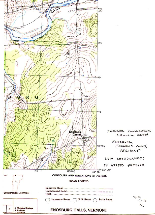
USGS Map