Geospatial technologies provide new and evolving expertise for addressing the major challenges of our time by transforming data into geographically referenced information. UVM is a leader in the use of geospatial technologies in teaching and research.
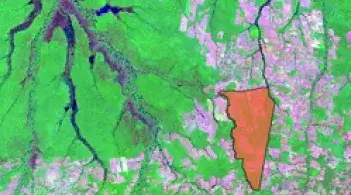
Satellite and aerial imagery, Geographic Information Systems (GIS) software, Remote Sensing (RS), and Global Positioning Systems (GPS) have driven geospatial technologies (GST) to the forefront of a revolution in the acquisition, integration, and analysis of geospatial data. These data are useful in addressing a wide array of environmental issues, locally and globally.
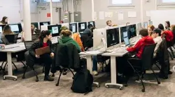
UVM offers multiple GST academic programs and courses that emphasize a deep understanding of core concepts, engagement in real-world applications, and use of the latest technologies.