Exploring and Interacting With Planet Earth.
Together, geography and geosciences help us grasp the natural and social processes that shape the world’s physical and human environments and how they are interconnected. While geography helps us explore and understand the larger forces geosciences allow us to discover how the earth works. Learning and working side by side with dedicated faculty, students of these two majors are better able to explore the larger forces at play on our planet.
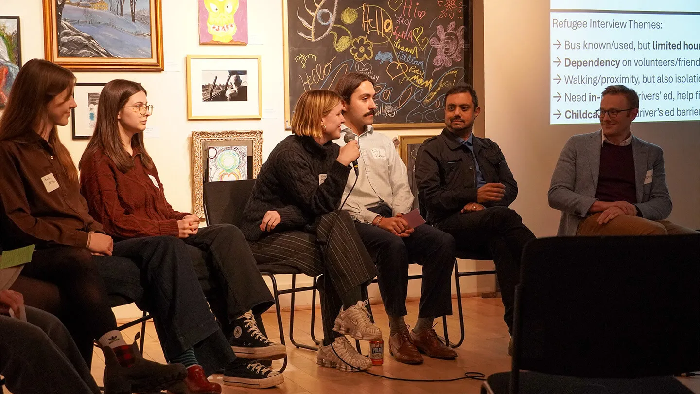
UVM’s Department of Geography and Geosciences is focused on educating the geographers and geoscientists of tomorrow to interpret and tackle 21st-century challenges facing our planet and its population, such as climate change, human migration, water resources, and environmental health. We do this through engaged teaching, world-class faculty research, challenging field, and lab work, rewarding internship opportunities, community-focused service learning, sustainability education, and access to high-caliber professional networks. We strive to make our department accessible to all learners and are committed to diversity, equity, and inclusion both inside and outside our classrooms.
When you study geography or geosciences in UVM’s College of Arts and Sciences, you receive a unique, potent combination of the personal attention and hands-on, experiential learning of a small liberal arts college paired with the wide-ranging opportunities and experience that come from studying at a top research institution. You’ll graduate with the knowledge and skills you need to begin a rewarding career and make a real difference in the future of our communities and the planet.
ACADEMICS What Makes Us Special

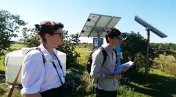
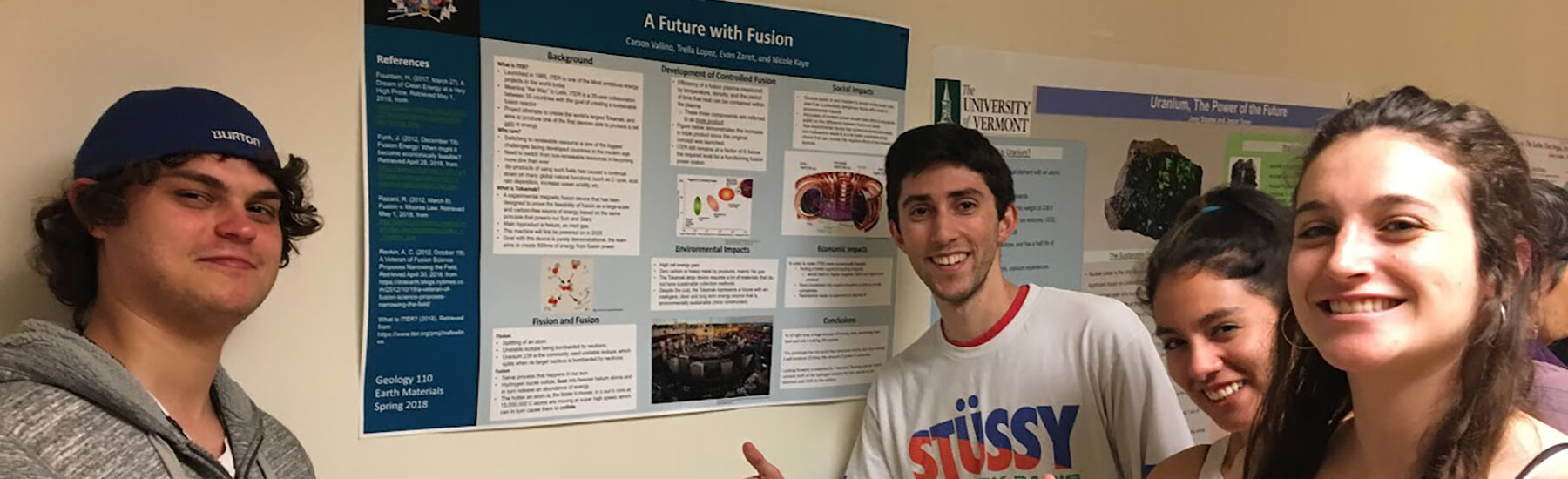
Hands-On Experience
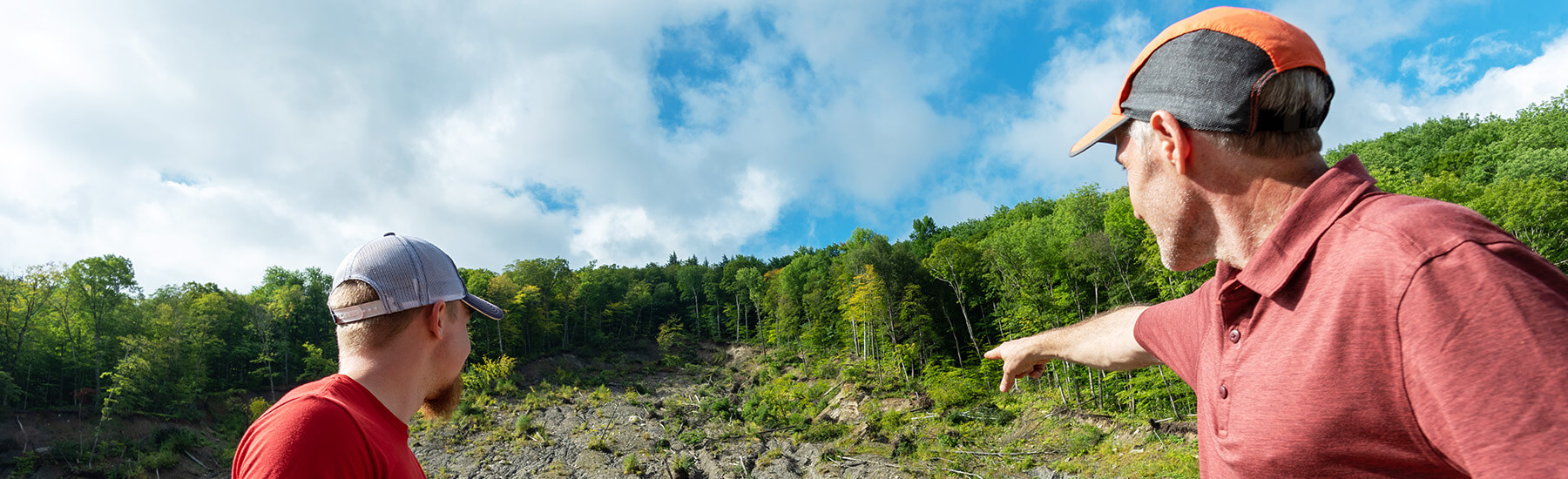
World-Class Faculty