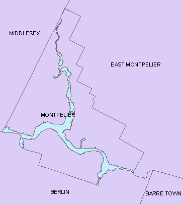
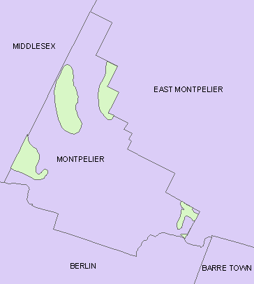
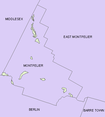
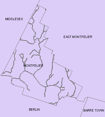
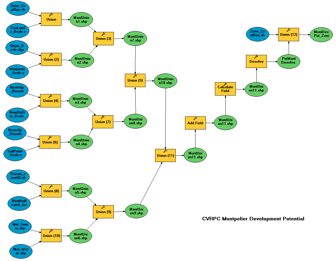
CVRPC used this model to analyze development potential in the town
of Montpelier. The model basically performs many unions to overlay
eleven input layers that have all been scored according to their effect
on development potential. A few examples of input layers are shown below
(flood zone, deer yards, prime ag. soil, and streams, respectively):
Characteristic factors and scoring are listed in this document (MS Word).
The final product (PDF) shows development potential within the town.
July 2005 . . . . questions/comments to: Daniel Currier, CVRPC