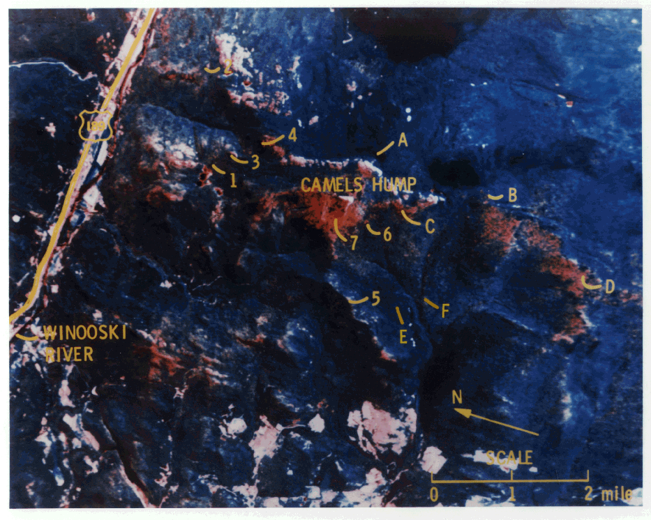
Camels Hump Aerial Photo
This computer enhanced image of Camels Hump Mt. was taken
by the NS-001 Thematic Mapper Simulator (TMS) flown on a NASA C-130 aircraft at an altitude
of approximately 17,000 feet. The red-orange areas show the reflectance signature of forest
decline areas. Image courtesy of Dr. Barry Rock, University of New Hampshire.