|
Main
Page
Historic
Narrative
Historic
Agricultural
Census
Maps
& Photos
Barn
Photos
Resources Return to Vermont
Barn Census Page
 |
|

Interactive
Barn Census Map & Photographs
View the Brownington,
Vermont Barn Census in a larger map.
CLICK
FOR COMPLETE LIST OF BARN CENSUS PHOTOGRAPHS

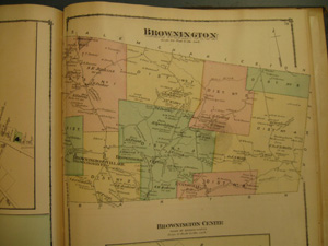
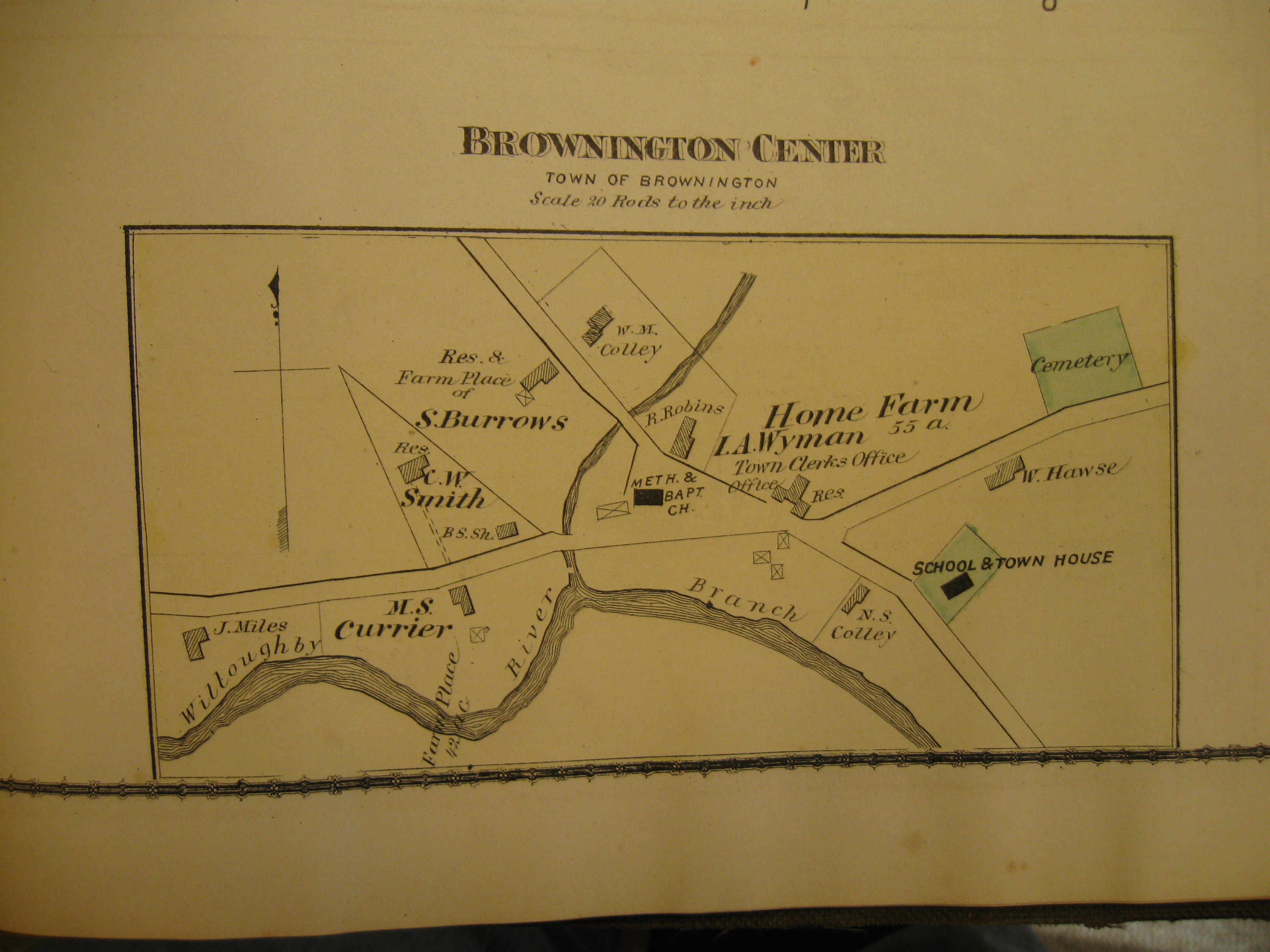
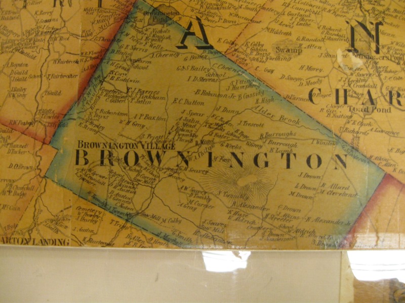
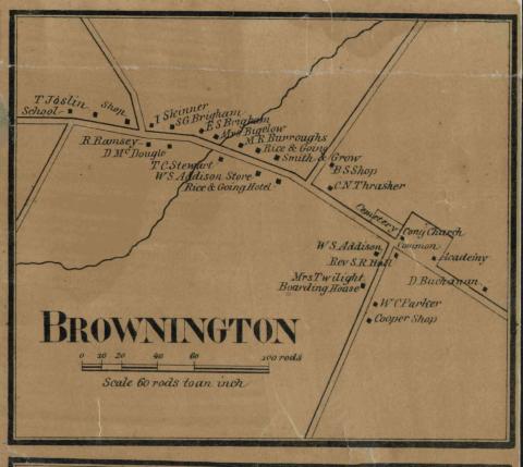
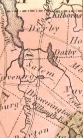
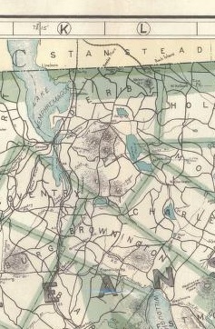
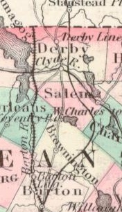
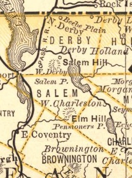
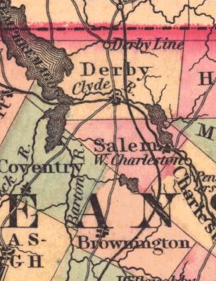
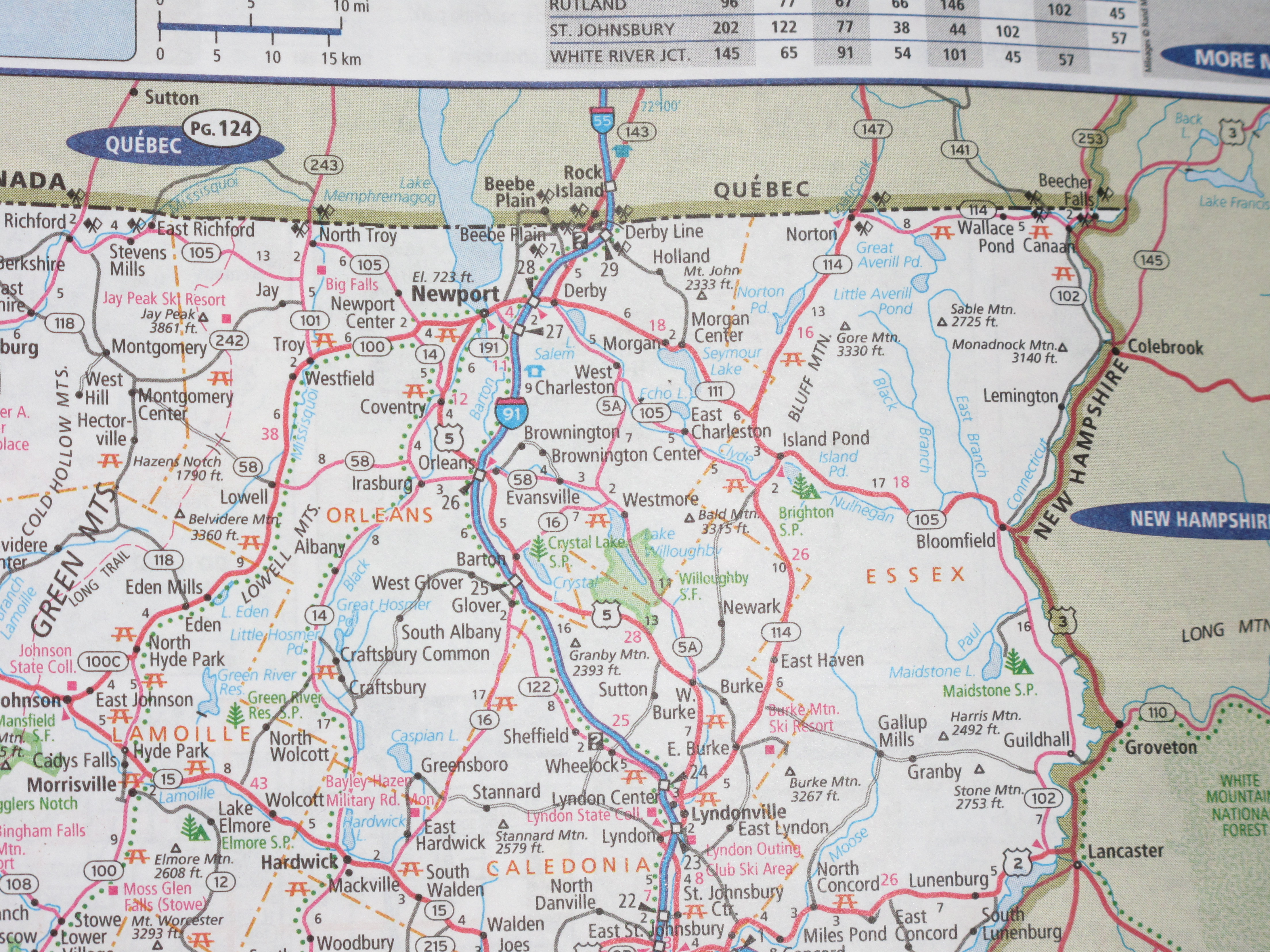
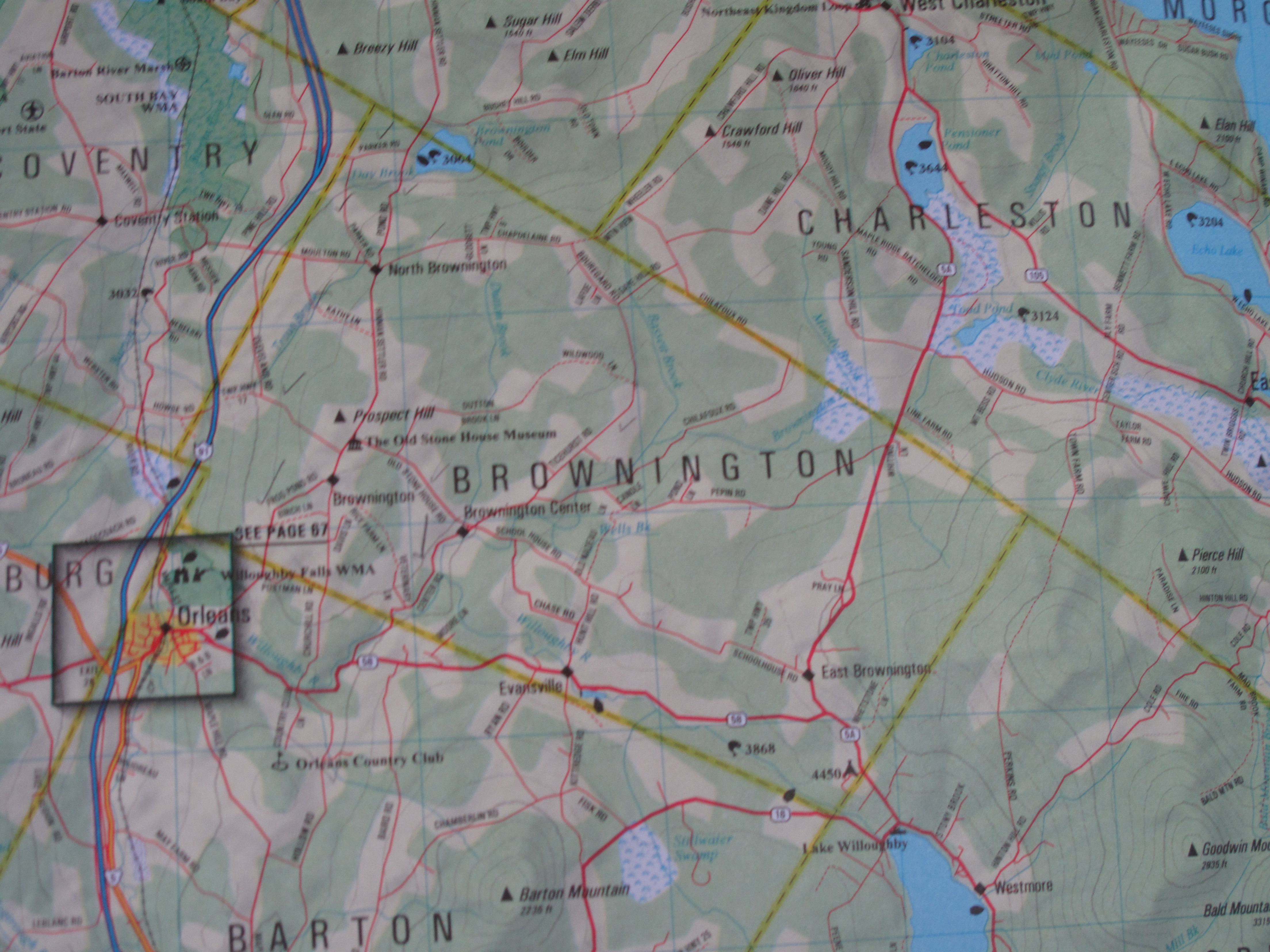
Historic Maps
Historic Photos
Click Pictures for Larger View
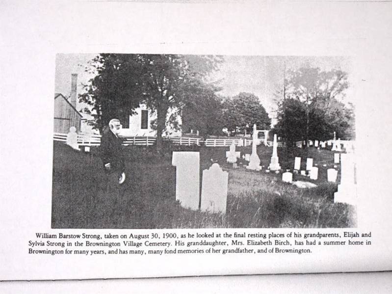
William
Barstow Strong, Descendant of
Original Settlers of Brownington.
From
- Ralph S. Swett. History
of Brownington, VT 1799-1970: 175th Anniversary of Brownington.
Courtesy of the University of Vermont Special Collections.
|
|
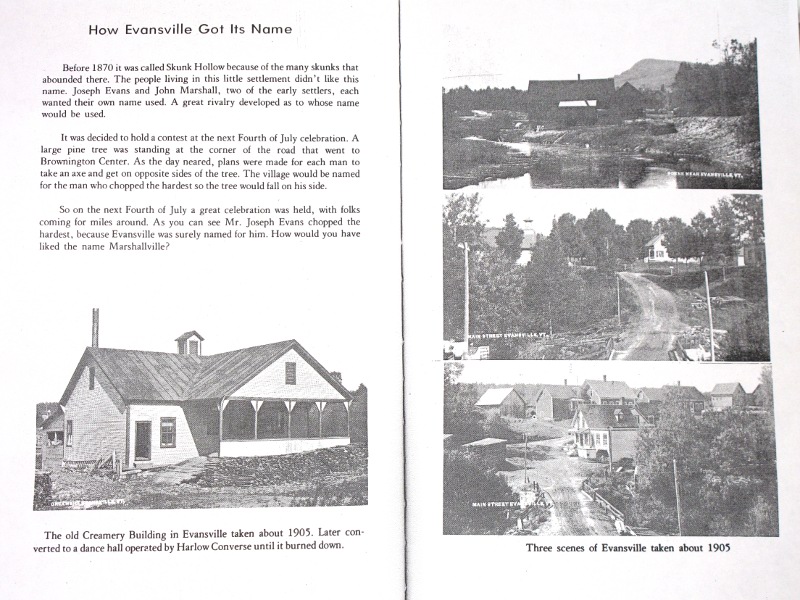
| Pictures
of Evansville, VT in the
early 1900's.
From
- Ralph S. Swett. History
of Brownington, VT 1799-1970: 175th Anniversary of Brownington.
Courtesy of the University of Vermont Special Collections
|
|
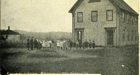
Brownington
School House, Unknown Year
Courtesy of UVM Special Collections |
|
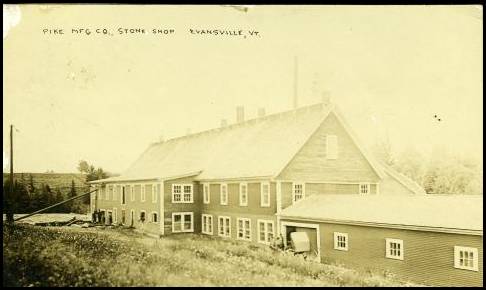
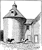
Stone
Shop, Evansville, VT, Year Unknown
Courtesy of UVM Special Collections |
|
Pride
of Swett Farm, Early 1900's
Brownington, Vt. The
Memphremagog Press.
Courtesy of the Univesity of Vermont Landscape Change Project,
Submitted by Renee Gliddon
|
|
|
|
|
This
preliminary research about barns and farm buildings in thirteen Vermont
towns is offered as a public service to assist local volunteers with
their efforts to learn more about the agricultural heritage of these
communities. It is hoped that additional information on the history and
features of these barns will be submitted by volunteers through the Vermont Barn Census
project. The
historical research and preliminary field documentation was conducted
during the fall 2009 semester by graduate students enrolled in the
Researching Historic Structures and Sites course at University of
Vermont Historic Preservation Program with the assistance of local
volunteers as part of the Vermont
Barn Census, a statewide project of the Vermont Division for
Historic Preservation, the University of Vermont
Historic Preservation Program, Historic Windsor’s
Preservation Education Institute, Save Vermont Barns, Vermont Housing
and Conservation Board, and the Preservation Trust
of
Vermont. Funding support provided in part by a Preserve America grant
through the National Park Service to the State of Vermont Division for
Historic Preservation.
|
|